
Global Travel Information
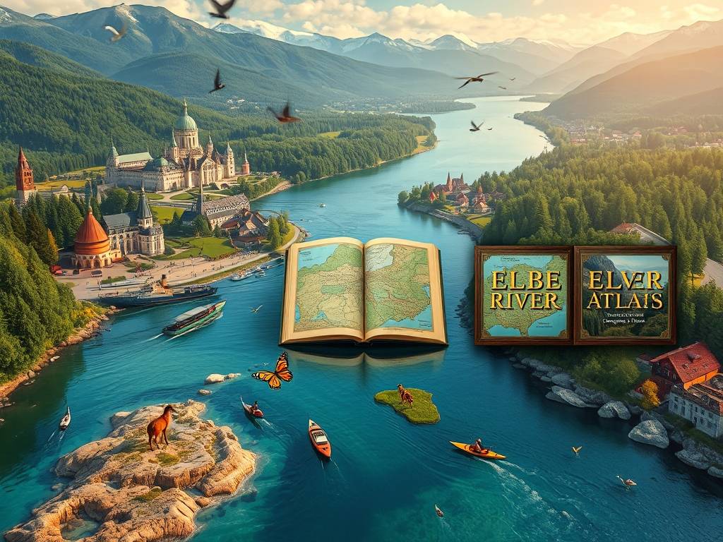
Elbe River Maps: Printable & Digital Versions
Your Ultimate Guide to Elbe River Maps: Navigating History, Culture, and Adventure
There's a certain magic to tracing the path of a great river on a map. The Elbe River, flowing over 1,100 kilometers from the Krkonoše Mountains in the Czech Republic to the North Sea in Germany, is more than just a blue line on paper; it's a ribbon of history, culture, and breathtaking landscapes. Whether you're a cyclist dreaming of the Elbe Cycle Path, a history buff planning a castle tour, or a cruiser anticipating the sights of Dresden and Hamburg, the journey begins with the right map. But in our digital age, a common question arises: should you use a printable Elbe River map or a digital Elbe River navigation app? The wonderful truth is, you don't have to choose just one. The most prepared travelers understand the unique strengths of each format.
This comprehensive guide is designed to be your one-stop resource for all things related to Elbe River cartography. We will explore the distinct advantages of both printable and digital maps, guide you to the best sources for free downloadable Elbe River maps, and show you how to use them in harmony for a seamless and enriching experience. We'll also delve into specialized maps for cycling, river cruising, and hiking, ensuring you have the tools for your specific adventure.

Part 1: The Timeless Charm of Printable Elbe River Maps
In an era of smartphones, the tangible nature of a paper map holds a unique power. A printable map of the Elbe River basin offers benefits that no battery-powered device can match.
-
The Big Picture and Uninterrupted Planning: Spread out a large-format paper map on your table, and you instantly grasp the grand scale of the Elbe's journey. You can see the entire river system, its tributaries, and the spatial relationship between cities like Prague, Dresden, Meissen, Wittenberg, and Hamburg all at once. This "helicopter view" is invaluable for planning your overall itinerary. There's no pinching, zooming, or losing context. For trip planning, a detailed Elbe River cruise map in print form allows you to visually track your entire route, mark potential stops, and get genuinely excited about the voyage ahead.
-
Unwavering Reliability: Your paper map never runs out of battery, loses its signal in a remote river valley, or requires a data plan. It is a dependable companion through and through. This makes it an essential offline Elbe River travel guide and a crucial safety backup. Even if you primarily use a digital device, having a folded paper map in your bag provides peace of mind.
")
-
A Tangible Travel Souvenir: A well-used map, annotated with notes, circled points of interest, and creased from folding and unfolding, becomes a cherished souvenir of your journey. It tells the story of your trip in a way that a smartphone screen never can. It's a physical artifact of your adventure along the Elbe River from source to mouth.
Finding the Best Printable Maps: Look for topographic maps that show elevation changes, which are crucial for cyclists and hikers. Many national and regional tourism boards for Saxony, Saxony-Anhalt, and Schleswig-Holstein offer high-quality, free-to-download PDF maps on their official websites. These are often specifically tailored for the Elbe Cycle Route (Elberadweg), which is one of the most popular long-distance bike paths in Europe.
Part 2: The Dynamic Power of Digital Elbe River Navigation
Digital maps have revolutionized the way we explore. They turn a static sheet of paper into an interactive, intelligent guide.
-
Live Location and Real-Time Tracking: This is the superpower of digital maps. Using GPS, apps like Google Maps, Maps.me, or specialized cycling apps (such as Komoot or the official Elberadweg app) show your exact position in real-time along the Elbe River course. No more guessing which way to turn at a fork in the path. This feature is a game-changer for navigating the complex network of trails in the Elbe Riverside Biosphere Reserve or finding your way through a city like Hamburg.
-
A Wealth of Integrated Information: A digital map is a gateway to a deeper experience. You can tap on a point to see photos, read reviews of a restaurant, check the opening hours of Schloss Pillnitz, or learn the history of the Lutherstadt Wittenberg memorials. This transforms your map into a comprehensive Elbe River valley tourist map and guidebook all in one.
-
Constant Updates and Customization: Roads change, new bike paths are built, and restaurants open and close. Digital maps are updated frequently, ensuring you have the most current information. Furthermore, you can customize them by saving favorite locations, creating custom routes, and adding personal notes, effectively building your own interactive Elbe River map.
Essential Digital Tools: For a seamless experience, download offline map areas for the entire Elbe region in apps like Google Maps or Maps.me before your trip. This gives you all the benefits of digital navigation without consuming mobile data. For cyclists, dedicated apps provide turn-by-turn navigation for the entire Elbe Cycle Path, including surface conditions and altitude profiles.
Part 3: A Harmonious Blend: Using Printable and Digital Maps Together
The most savvy travelers don't see this as an either/or choice. They create a powerful synergy by using both formats together.
-
The Planning Phase: Use a high-quality printable Elbe River map to lay out your grand plan. Get a feel for the distances, identify the regions you want to focus on, and mark key historical sites and natural wonders. This is your strategic overview.
-
The Execution Phase: On the ground, rely on your digital Elbe River navigation app for the tactical details. Use it for turn-by-turn directions, finding lunch spots, and checking your progress. It’s your daily workhorse.
-
The Backup and Reflection Phase: Your printed map is always there as a reliable backup. At the end of each day, you can unfold it and trace the journey you've just completed, solidifying the memories. It also serves as a conversation starter with fellow travelers.
This combined approach ensures you are never lost, always informed, and fully immersed in the geography of your adventure.
Part 4: Specialized Maps for Your Specific Elbe Journey
The Elbe caters to different types of travelers, and so do its maps.
-
For the Cyclist: The Elbe Cycle Path Map: The Elberadweg is a world-class cycling route. A dedicated Elbe Cycle Path map is essential. It highlights the specific bike trail, often distinguishing between paved and unpaved sections. It shows cycle-friendly accommodations, bike repair shops, ferry crossings, and detailed elevation data. While digital apps are excellent for navigation, a printed cycling map strip is a popular and practical item sold along the entire route.
-
For the Cruiser: Elbe River Cruise Maps: River cruise companies provide detailed maps of the river, often highlighting ports of call, locks, and the stunning scenery you'll pass through. A detailed Elbe River cruise map will help you understand the daily itinerary and identify key landmarks like the Bastei rock formation or the Köhlbrand Bridge in Hamburg from the water. Studying this map enhances the anticipation and enjoyment of your cruise.
-
For the Explorer: Topographic and Hiking Maps: If you plan to venture into the Saxon Switzerland National Park or the Lüneburg Heath, detailed topographic maps are indispensable. These maps of the Elbe River basin show contour lines, forest trails, and specific natural features. They are vital for safe and rewarding hiking excursions away from the main riverbanks.
Conclusion: Your Journey, Perfectly Mapped
The majestic Elbe River awaits, offering a journey through the heart of Central Europe. By understanding the unique value of both printable and digital maps, you equip yourself with the best tools for a successful and memorable trip. Let your printable Elbe River map be your planning canvas and trusted souvenir, and let your digital Elbe River navigation app be your real-time guide. Together, they will ensure that your focus remains on the stunning castles, the vibrant cities, the serene landscapes, and the rich history that makes the Elbe Valley so unforgettable. So, start exploring those maps—your adventure is just a fold, or a tap, away.
相关文章
- Elbe River Stamps: Collectible Postal Items
- Elbe River Coins: Commemorative Currency
- Elbe River Atlases: Comprehensive Geographic Guides
- Elbe River Guidebooks: Pocket-Sized Travel Tips
- Elbe River Brochures: Free Information for Travelers
- Elbe River Flyers: Local Event Announcements
- Elbe River Posters: Decorative Prints of the River
- Elbe River Calendars: 2025 Wall & Desk Versions
- Elbe River Planners: Organize Your Trip with River Themes
- Elbe River Journals: Document Your Travels
发表评论
评论列表
- 这篇文章还没有收到评论,赶紧来抢沙发吧~