
Global Travel Information
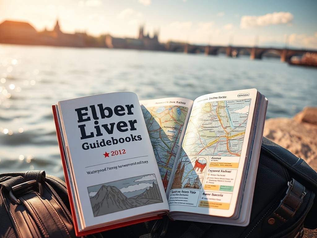
Elbe River Atlases: Comprehensive Geographic Guides
The Elbe River Atlases: Your Definitive Guide to a European Waterway's Soul
For centuries, the Elbe River has been more than just a blue line on a map of Europe. It is a silent witness to history, a vital economic artery, a fragile ecosystem, and a source of artistic inspiration, flowing from the rugged peaks of the Czech Republic's Giant Mountains to the vast tidal flats of the German North Sea. To truly understand this multifaceted river, one needs more than a simple map or a tourist brochure. One needs the comprehensive, detailed, and deeply informative world of the Elbe River Atlases. These are not mere collections of maps; they are comprehensive geographic guides that unlock the river's soul, offering an unparalleled journey through its physical, cultural, and historical landscape.
So, what exactly is an Elbe River Atlas? In essence, it is a systematic compilation of cartographic and descriptive information dedicated exclusively to the Elbe River basin. Think of it as the river's biography, told through meticulously crafted maps, data visualizations, and expert commentary. Unlike a standard road atlas, a dedicated river atlas delves into the specifics that matter to a diverse audience: the boater seeking navigational cues, the historian tracing trade routes, the environmentalist monitoring water quality, and the traveler planning a cycling trip along its banks. The best Elbe River Atlases serve all these masters, integrating disparate information into a single, coherent resource.

A Journey Through the Pages: What You Will Discover
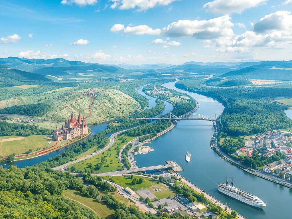
Opening a comprehensive Elbe River Atlas is like embarking on a detailed voyage from source to mouth. The journey typically begins in the Czech Republic, where the river is known as the Labe. Here, the atlases provide detailed navigational charts for the Vltava and Elbe waterways, showing locks, weirs, ports, and marinas. For the recreational boater, these inland waterway maps for Central Europe are indispensable, indicating water depths, bridge clearances, and safe anchorages. But the atlases go beyond navigation. They illustrate the river's dramatic transformation from a fast-flowing mountain stream, through the stunning sandstone formations of the Elbe Sandstone Mountains—a region often highlighted with tourist maps of the Saxon and Bohemian Switzerland—and into the historic cities of Ústí nad Labem and Děčín.
")
As the river crosses into Germany, the atlas guides you through its cultural heartland. The pages dedicated to the stretch from Dresden to Magdeburg are rich with detail. You'll find historical maps of the Elbe River trade routes, showing how medieval guilds and modern industries have thrived on its banks. The famed Elbe Cycle Route (Elberadweg), one of Europe's most popular long-distance cycling paths, is meticulously charted, offering guides for cycling the Elbe River from Czechia to Germany. These sections often include topographic data, showing the gentle gradients that make the route so accessible, and point out cultural landmarks like Dresden's Frauenkirche, Meissen's porcelain factory, and the vineyards of the Elbe Valley.
A crucial, and often overlooked, component of modern atlases is their focus on the environment. A true comprehensive geographic guide to the Elbe would be incomplete without addressing its ecological story. This includes maps detailing Elbe River biosphere reserve and protected areas, such as the UNESCO-recognized Wadden Sea National Parks at its estuary. These maps show protected habitats, bird nesting areas, and floodplain forests. Furthermore, they visualize complex data like shipping traffic density on the Elbe waterway and its correlation with water quality metrics. For students, researchers, and policymakers, these atlases provide an essential tool for understanding the balance between economic use and ecological preservation, offering insights into flood prevention strategies in the Elbe basin by mapping historical flood events and modern retention areas.
Who Truly Benefits from an Elbe River Atlas?
The user base for these atlases is remarkably broad.
- The Recreational Boater and Sailor: For anyone operating a vessel on the Elbe, from a small yacht to a commercial barge, the detailed navigational charts for the Vltava and Elbe waterways are non-negotiable for safe passage. They provide real-time, practical information that generic maps lack.
- The Avid Cyclist and Hiker: The Elbe Cycle Route enthusiast relies on the atlas for elevation profiles, route surfaces, and the locations of amenities, cultural sites, and connecting trails. It’s the ultimate planning guide for Elbe River bike tours and cruises.
- The Academic and Environmental Advocate: Researchers find these atlases to be treasure troves of synthesized data. The layering of historical maps with current land-use plans, or water quality data with agricultural zones, allows for powerful comparative analysis and supports studies on sustainable development along the Elbe River.
- The History and Culture Enthusiast: By overlaying old trade routes with modern infrastructure, or pinpointing castles, battlefields, and ancient settlements, the atlases provide a tangible connection to the past. They answer questions about how the river shaped regional identity and economic development.
- The Curious Traveler: Even the armchair explorer can find joy in an Elbe River Atlas. The rich cartography and descriptive text offer a deeper, more meaningful understanding of the region than any standard travel guide, making it an invaluable comprehensive geographic guide for pre-trip planning or post-trip reflection.
The Digital Evolution: Atlases in the Modern Age
The tradition of the printed atlas is now being powerfully augmented by digital technology. Modern Elbe River Atlases often exist as interactive online portals or sophisticated GIS (Geographic Information System) platforms. These digital versions offer dynamic capabilities that a static page cannot. Users can turn data layers on and off—for instance, viewing the river's course with the cycling path highlighted, then switching to a view that shows water depth or the locations of all river locks. This interactivity makes them incredibly powerful tools for finding the best maps for Elbe River hiking and boating.
These digital platforms are constantly updated, providing near real-time information on water levels, construction work on locks, or weather conditions—a critical advantage for navigational safety. They represent the future of the river atlas: a living, breathing resource that is more accessible, detailed, and useful than ever before.
In conclusion, the Elbe River Atlases are far more than just books of maps. They are the ultimate synthesis of geography, history, ecology, and culture. They solve the problem of fragmented information by bringing everything about the Elbe into one cohesive, authoritative, and beautifully presented resource. Whether you are navigating its waters, cycling its paths, studying its ecosystems, or simply seeking to understand its profound impact on Central Europe, these comprehensive guides provide the definitive key. They don't just show you where the river goes; they reveal what the river means.
相关文章
- Elbe River Stamps: Collectible Postal Items
- Elbe River Coins: Commemorative Currency
- Elbe River Maps: Printable & Digital Versions
- Elbe River Guidebooks: Pocket-Sized Travel Tips
- Elbe River Brochures: Free Information for Travelers
- Elbe River Flyers: Local Event Announcements
- Elbe River Posters: Decorative Prints of the River
- Elbe River Calendars: 2025 Wall & Desk Versions
- Elbe River Planners: Organize Your Trip with River Themes
- Elbe River Journals: Document Your Travels
发表评论
评论列表
- 这篇文章还没有收到评论,赶紧来抢沙发吧~